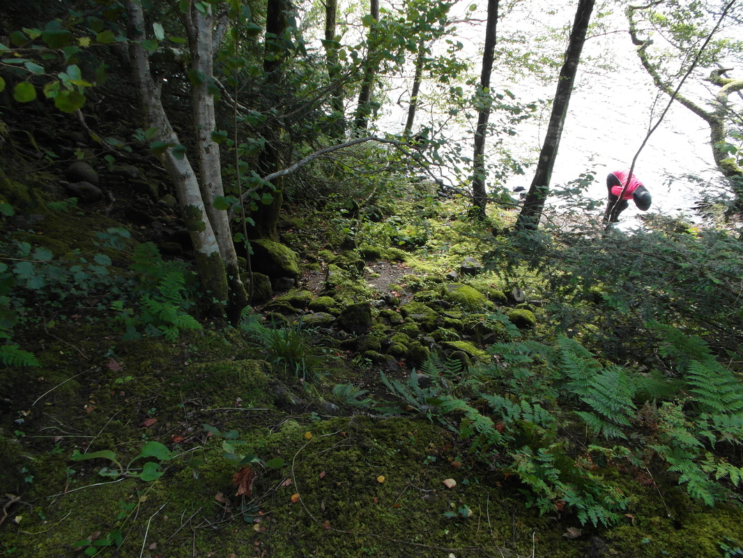
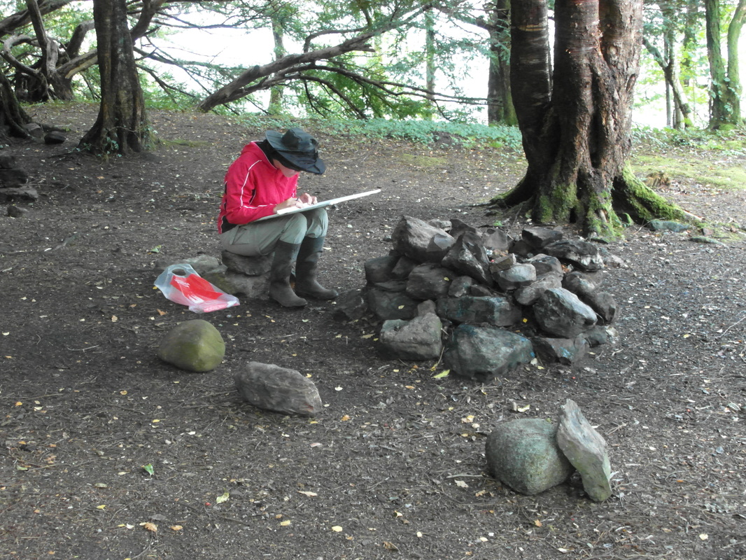
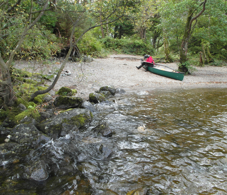
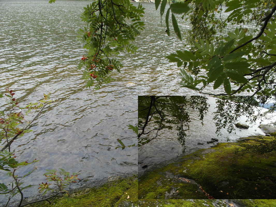
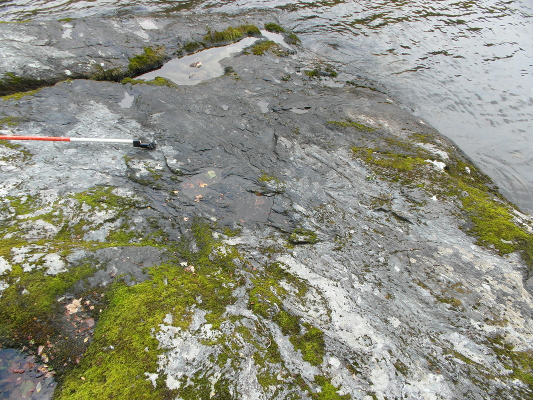
Katherine and Bruce McFarlin met with Fiona Baker to identify additional measurements needed for the completion of the island survey ... in remote discussion with David Connolly. The team canoed over from Rubha Ban both days and enjoyed a gorgeous September day on Tuesday the 6th. Additional measurements were taken based on the survey map in progress from David Connolly. Extensive images of the shoreline and key archaeological features were taken to help the experts tune the final surveys.
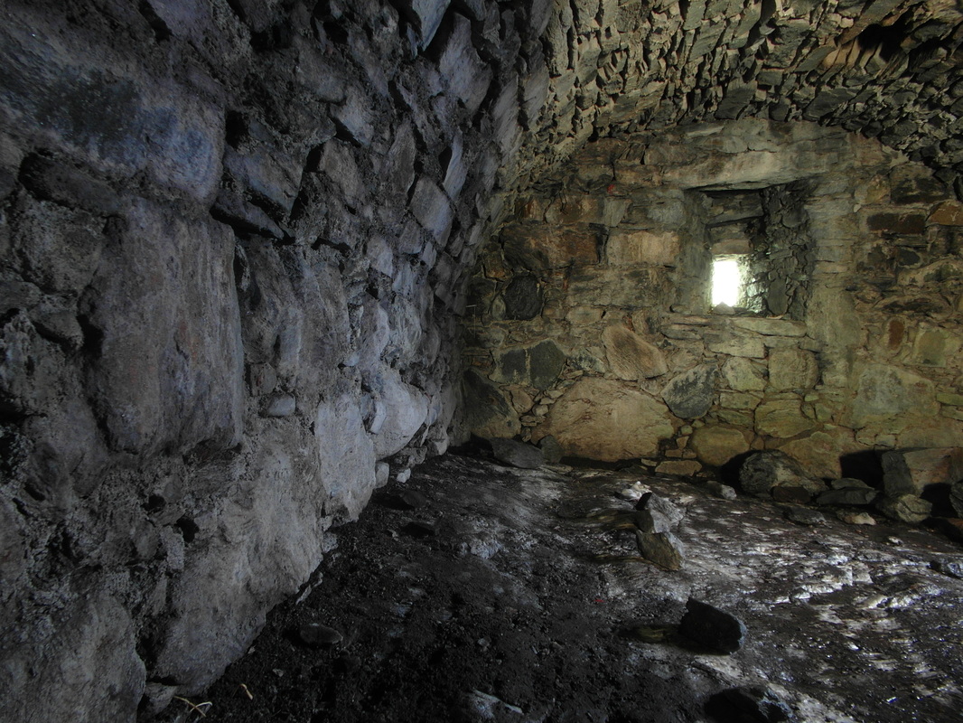
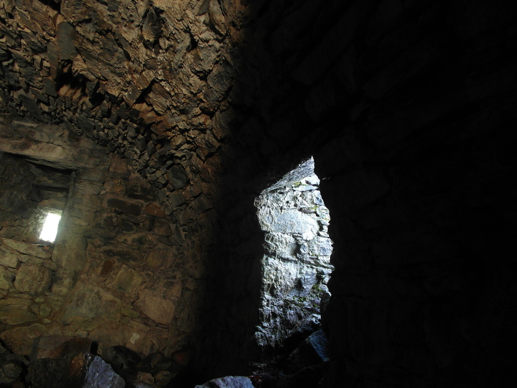
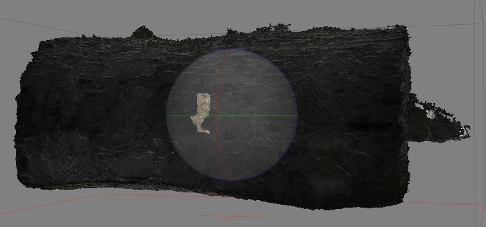
Tripod photos were taken in the cellar with the windows and doors covered to better control the incoming light and a better set of data was collected for 3D modeling of the cellar. Preliminary results look good.
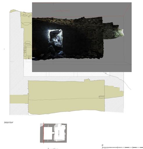
The first photo below compares the cellar (north) window 'tiered" profile from a 3D model to the measured drawing prepared by Tom Addyman. I have not doubt that Tom's drawing is equally, if not more, accurate and better captures the important points.
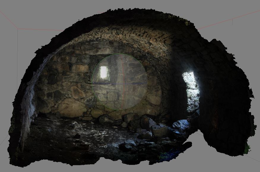
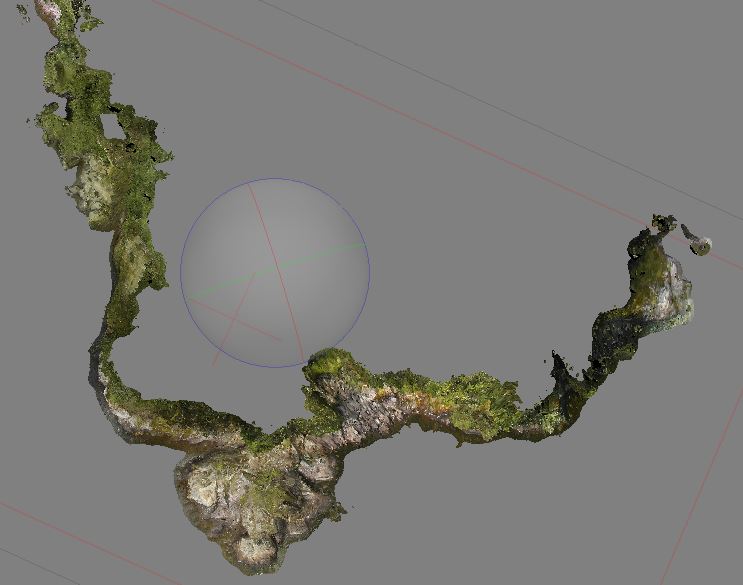
Note also some additional 3D cellar models published on the 3D Modeling tab.
Tripod photos were taken in the cellar with the windows and doors covered to better control the incoming light and a better set of data was collected for 3D modeling of the cellar. Preliminary results look good.
The first photo below compares the cellar (north) window 'tiered" profile from a 3D model to the measured drawing prepared by Tom Addyman. I have not doubt that Tom's drawing is equally, if not more, accurate and better captures the important points.
Note also some additional 3D cellar models published on the 3D Modeling tab.